

- Home
- About
-
Upazila Parishad
উপজেলা পরিষদের বাজেট
Minutes of various upazila committee meetings: 2023-24
-
Committee on Public Health, Sanitation and Clean Water Supply
-
Committee on Market Price Monitoring, Monitoring and Control
-
Committee on Finance, Budget, Planning and Local Resource Development
-
Environment and Forests
-
culture
-
Rural Development and Cooperatives
-
Law and order affairs committee
-
Committee on Communications and Physical Infrastructure Development
-
Agriculture and Irrigation Committee
-
Secondary and Madrasa Education
-
Primary and mass education
-
Health and Family Welfare
-
Youth and Sports Development Committee
-
Women and Child Development
-
social welfare
-
freedom fighter
-
Fisheries and Livestock
Minutes of Monthly Meeting: 2021-22
Upazila Parishad Committees
-
Committee on Law and Order
-
Communication and Physical Infrastructure Development Committee
-
Committee on Agriculture and Irrigation
-
Secondary and Madrasa Development Committee
-
Committee on Primary and Mass Education
-
Committee on Health and Family Welfare
-
Committee on Youth and Sports Development
-
Committee on Women and Child Development
-
Committee on Social Welfare
-
Committee on Freedom Fighters
-
Committee on Fisheries and Animal Resources Development
-
Committee on Rural Development and Cooperatives
-
Committee on Cultural Affairs
-
Committee on Environment and Forests
-
Committee on Market Price Monitoring, Monitoring and Control
-
Committee on Finance, Budget, Planning and Local Resources
-
Committee on Public Health, Sanitation and Pure Water Supply
-
Committee on Public Health, Sanitation and Clean Water Supply
- Administration
- Kotchandpur Municipality
-
Govt. Offices
Agriculture & Food
-
Office of Agriculture office
-
Office of Senior Upazila Fisheries Officer
-
Office of Food Controller
-
Centeral Fish Hatchery Complex, Kotchandpur, Jhenaidah
-
Upazila Jute Development Officer\'s Office
-
Upazila Animal Husbandry Department and Veterinary Hospital
-
Bangladesh Agricultural Development Corporation
-
Office of Agriculture office
- Different Institutions
- Gallery
- National anthem
-
List of beneficiaries
- Humanitarian assistance of the Prime Minister
-
Home
List of workers
-
About
Upazila Introduction
History-Tradition
Geographical and Economic
Other
-
Upazila Parishad
About Upazila Parishad
ADP report
উপজেলা পরিষদের বাজেট
Citizen-Charter
Financial Statement of Upazila Parishad
Scheme Selection Committee
Voting members of Upazila Parishad
Minutes of various upazila committee meetings: 2023-24
- Committee on Public Health, Sanitation and Clean Water Supply
- Committee on Market Price Monitoring, Monitoring and Control
- Committee on Finance, Budget, Planning and Local Resource Development
- Environment and Forests
- culture
- Rural Development and Cooperatives
- Law and order affairs committee
- Committee on Communications and Physical Infrastructure Development
- Agriculture and Irrigation Committee
- Secondary and Madrasa Education
- Primary and mass education
- Health and Family Welfare
- Youth and Sports Development Committee
- Women and Child Development
- social welfare
- freedom fighter
- Fisheries and Livestock
Upazila Monthly Meeting Resolution: 2023-24
Minutes of Monthly Meeting: 2021-22
Monthly Meeting Resolution: 2022-23
Upazila Parishad asset register
Upazila Parishad Committees
- Committee on Law and Order
- Communication and Physical Infrastructure Development Committee
- Committee on Agriculture and Irrigation
- Secondary and Madrasa Development Committee
- Committee on Primary and Mass Education
- Committee on Health and Family Welfare
- Committee on Youth and Sports Development
- Committee on Women and Child Development
- Committee on Social Welfare
- Committee on Freedom Fighters
- Committee on Fisheries and Animal Resources Development
- Committee on Rural Development and Cooperatives
- Committee on Cultural Affairs
- Committee on Environment and Forests
- Committee on Market Price Monitoring, Monitoring and Control
- Committee on Finance, Budget, Planning and Local Resources
- Committee on Public Health, Sanitation and Pure Water Supply
-
Administration
Upazilla Nirbahi Officer
About Organogram
Schedule & Meeting
Service & Others
-
Kotchandpur Municipality
পৌর প্রশাসক
Municipal council
Municipal contact
Acts & Rules
Municipal officials and employees
Contractual employees
-
Govt. Offices
Security & Discipline
Health related
Agriculture & Food
- Office of Agriculture office
- Office of Senior Upazila Fisheries Officer
- Office of Food Controller
- Centeral Fish Hatchery Complex, Kotchandpur, Jhenaidah
- Upazila Jute Development Officer\'s Office
- Upazila Animal Husbandry Department and Veterinary Hospital
- Bangladesh Agricultural Development Corporation
Land Related
Engineering & Communication
Human Resources
-
Different Institutions
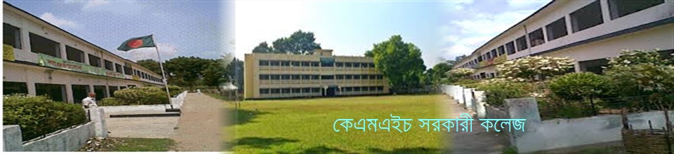
Educational Institution
-
Gallery
Photo-Gallery
Video-Gallery
-
National anthem
National anthem (audio)
National anthem (music track)
National anthem (text)
-
List of beneficiaries
No. 1-Safdarpur Union
No. 2-Dora Union
No. 4-Baluhar Union
No. 5-Elangi Union
-
Humanitarian assistance of the Prime Minister
Municipality
Safdarpur
Dora
Kushna
Baluhar
Elangi
Motor workers
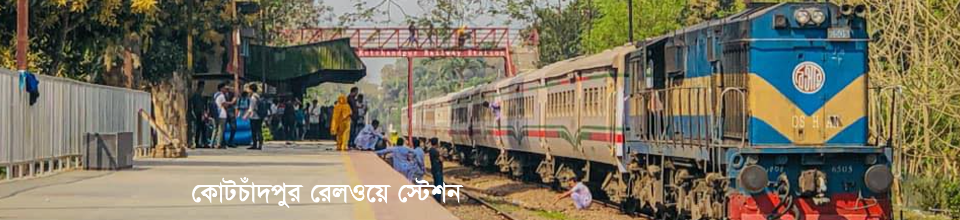
Background of Kotchandpur upazila
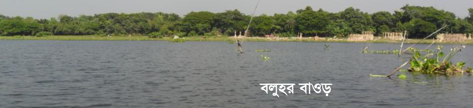
Kotchandpur is an old Upazila which is formed as a police station in 1772. Nothing definite about the origin of the name is known. In the past, a religious person named Chand Khan settled here to spread Islam. The house of a righteous person develops like a city around. During the reign of Emperor Jahangir, a wall was built to protect from the rebellious Bara Bhuiyan. In Persian the walls are called quotes. It is believed that Kotchandpur named origin quote and Chand Khan are from these two words. The area of Kotchandpur upazila is 165.63 km. It is located between 23 ° 22 'to 23 ° 33' north latitudes and 88 ° 55 'to 89 ° 06' east longitude. Jhenaidah Sadar upazila on the north, Kaliganj upazila on the east, Maheshpur upazila on the south and Jibanagar upazila of Chuadanga district and Jhenaidah sadar upazila on the west. There was no village or people settlement at Kotchandpur sometime. This place was in the river. There was surrounded by water bodies such as canal-bil-bawr etc. It appears that this place was confined to a few rivers. Nearly four and a half thousand years ago, Jessore was submerged in the sea of Kotchandpur. Reviewing the geographical direction, Bangladesh sees the world's largest delta. And the work of the delta is to water the water and make the land fertile. First the river flows into the sea. The river flows on the shore of the sea by carrying silt. 3. The vast waterside of Bangladesh was situated in the coast of Kotchandpur on the banks of the Bay of Bengal. In the 4th century AD, the island originated from the dense water channel of the Ganges. During the period of 5th century, the Himalayan glacier fell into the river Ganges due to the mountainous Padma The large jungle of the south is going to the Bay of Bengal It turns out. Thus, due to the eruption of the mountain ranges, the terrain was created and the sea moved south. At the beginning of the creation of the grasslands, the forests are full of forests. The bushy place is present in Kotchandpur. Cochchandpur area was under the territory of Bak-din in the early ages. At approximately three-and-a-half-and-a-half thousand years ago, during the Rigveda period, the 'wetlands' of the country's '' the '' island was wetlands. The forest was huge. It was because there was no settlement. Nabin Chandra Das, in his ancient land "Ancient Geogrophy of Asia" in ancient times, described the southern part of the Gangetic delta as a part of the undersea sea. The Gangetic delta, formed by the sediments, gradually becomes forest and people start settling. In this way, for centuries, houses, gardens, densely populated and rugged cities were created. In the past people settled in Kotchandpur area under the Gangetic delta, which were full of enchanting natural beauty covered with enchanted natural forests and forested forests. Because the Gangetic delta is a part of Banga, which is known as sub-Banga in the ancient texts. In Bengal, sub-basics refer to some areas of jungle in Jessore and its surroundings. It is naturally assumed that the jungle-kayaban is present in Kotchandpur in the river. Which belonged to Sub-Bengal. This subclass is a large aqueduct At one time it was a collection of many islands. All the islands are grown from the Ganges Plantation. Ikhtiar Uddin Muhammad-bin-Bakhtiyar Khilji was the second capital of Navadwip in the wake of the Bengali invasion. Many people think that the name of Nadia is from Navadwip. Nabavipu is a collection of several islands. Navadwip refers to the aggregate of nine islands. In some cases the zodiac is termed as the sum of twelve islands. Among all the islands of Navadwip that have been formed in Cochchandpur Surajdeep The island's ancient name was Yogindra Island. Valuable information about the island is available. The information is that Sen's legendary King, Lal Singh, was fascinated by the appearance of a lowly national woman and took him as a spouse. For this reason, when Lakshan Sen protested, the wife of Banal Sen was exiled to the conspiracy of the woman. After some time, Vallal Sen entered the inner chamber for the duration of the monsoon and noticed a verse of the Bhavana house, and remembered Laxman Sen's remorse. He called the king sailor and told him that if someone could bring his son before sunrise on the next day, he would be rewarded a portion of his kingdom. The adventurous sailors of the sun agreed to this work. He traveled with a speedy boat boat and performed his time in time. Surprisingly, the part of the island of Yogindra, which was donated by Balal Sen, was rewarded by the sun island. This region is known as the sun-rise. There were fishermen's residences on this island. Fisheries lived in a diverse manner. And the governor of fisheries was called the sun raja. Kotchandpur area was considered to be an extension of beautiful forest. When the Sundarbans came to the river Keadoral river, the time of the tide was stored in the chars. When the Sundarbans came to the river in the water of the river, the time was spent in the chars. Gradually, the canopy tree is full of trees in the forest. The trees are very big. On top of the grazing, many trees are aligning on one side and greenery on the banks of the river. Pages are giant leaf slender. Kawara Fruits Delicious People used it as a food. Fisheries came to fish for 3/4 months a year. At the time of fishing, fishermen started living in Kwa forests. In the phases, the township was developed here. The place of this population is known as Kevopol. This township was one of the most beautiful and beautiful scenes covered in a watery day. This region, rich in natural beauty, becomes a target for foreigners.


Planning and Implementation: Cabinet Division, A2I, BCC, DoICT and BASIS
Technical Assistance:
![]()
Developed By:
